Key geographical indicators of Sri Lanka
- Sri Lanka is an island country located in South Asia.
- It is located between latitudes 5°55′ and 9°51′ N and longitudes 79°41′ and 81°53′ E.
- Sri Lanka’s Land Area – 65,610 km2
- The maximum length of the country – 432 km
- The maximum width of the country – 224 km
- The Time Zone – SLST (UTC + 5:30)
- Population – 21,444,000 (2017)
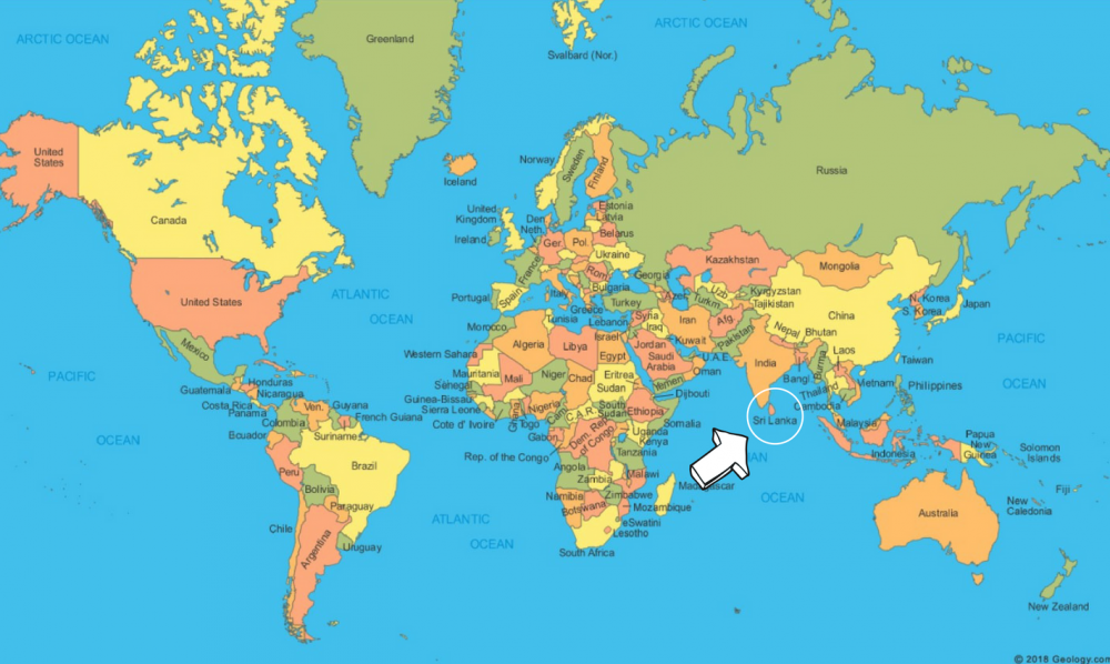
This is Sri Lanka on the World Map
Here’s a closer look…
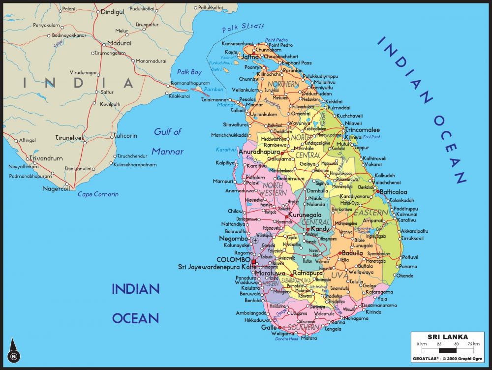
Sri Lanka in Google Maps
How does Sri Lanka’s position in the world affect the country?
Since ancient times, the strategic location of the country in the middle of the Indian ocean affected it in many positive ways. The location right under the Indian Peninsula and the natural deep harbours, bays, and anchorages along the coast provided adequate facilities for ships that sailed in the surrounding sea routes.
Besides, Sri Lanka was connected to the world by maritime routes with popular ports in the southern, western, and northeastern regions of the country. It was an impressive point connecting the Arab world, India, and China, which used to be giants in international trade. Sri Lanka provided facilities for the traders in return for taxes and customs duties.
Thus, Sri Lanka was a centre of transit trade from the very early days in history. The natural products from the country including gems, pearls, ivory, and many spices made Sri Lanka an important exporting country as well.
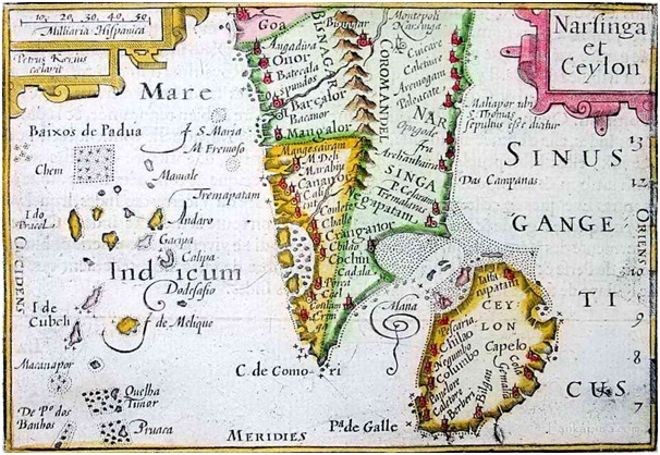
With the advent of European powers in the Indian Ocean, Sri Lanka’s foreign trade and the international sea born commerce underwent many changes.
Portuguese and the Dutch attempted the territorial conquest of the Island in order to monopolize the export trade of Sri Lanka in the 15th and 16th centuries. However, the British succeeded in gaining supremacy over the whole island in 1815 and gave the priority for plantations and agriculture, which drew attention from its role in the international trade.
Which ocean is Sri Lanka in?
Sri Lanka lies in the Indian Ocean, separated from the Indian Peninsula by the narrow Palk Strait.
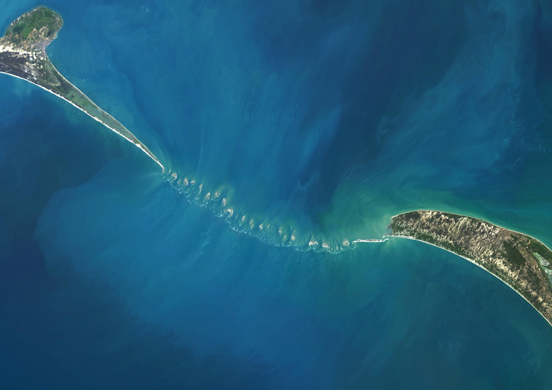
It is almost linked to the Indian mainland by Adam’s Bridge – an atoll barrier, mostly submerged, lying between the offshore island of Mannar and India itself. There are numerous legends behind this: for example, one states that this is the place where the first man, Adam, fell to Earth, and the Bridge served him as a path he took to travel to mainland Asia.
Is Sri Lanka in the Commonwealth?
Yes, Sri Lanka is a member state of the Commonwealth of Nations, as a former British colony.
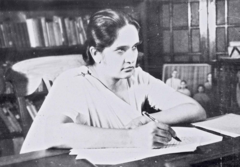
Fun Fact: Sri Lanka was the first Commonwealth state to have a female prime minister – Sirimavo Bandaranaike, who served for three periods of office.
FQA: Sri Lanka’s geographical position
Is Sri Lanka a part of Asia?
Yes, Sri Lanka is a part of Asia. South Asia, in particular.
Sri Lanka is a founding member of SAARC – South Asian Association for Regional Cooperation – the regional intergovernmental organization and geopolitical union of nations in South Asia.
What are Sri Lanka’s neighbouring countries?
India, Bangladesh, Pakistan, Nepal, Bhutan and Maldives are the nearest neighbouring countries of Sri Lanka.
What continent is Sri Lanka in?
Sri Lanka is located in the continent of Asia.
Is Sri Lanka in India?
No. As an island nation, Sri Lanka does not share land borders with any country.
What’s the Capital of Sri Lanka?
The administrative capital of Sri Lanka – Sri Jayawardhanapura Kotte
The commercial capital of Sri Lanka – Colombo
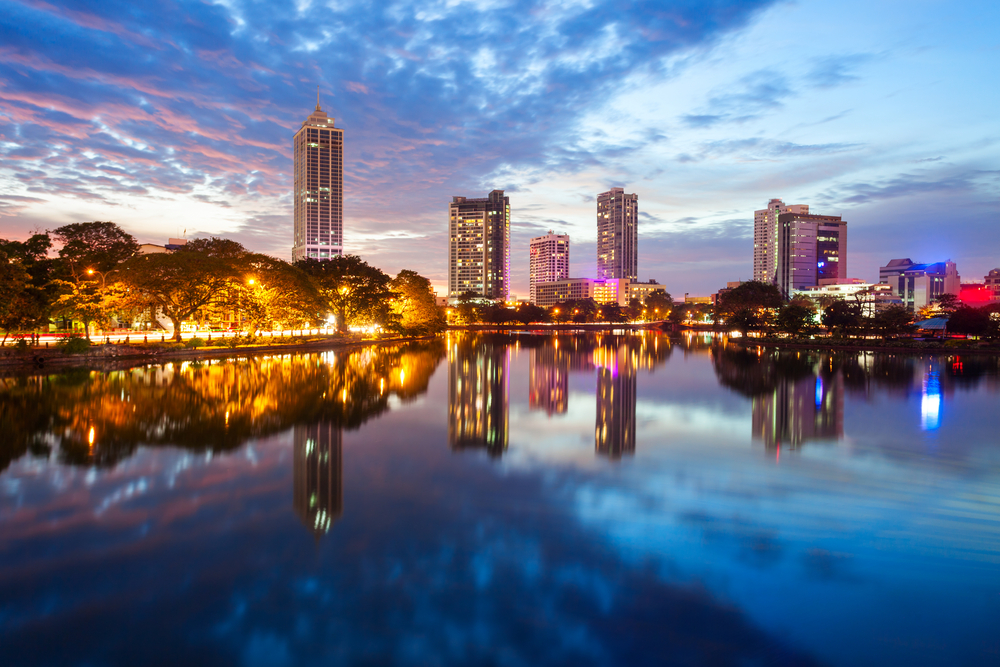
Furthermore, each of the 9 administrative divisions – Provinces – of Sri Lanka has its Capital. They are mentioned below.
- Central Province – Kandy
- Eastern Province – Trincomalee
- North Central Province – Anuradhapura
- Northern Province -Jaffna
- North Western Province -Kurunegala
- Sabaragamuwa Province -Ratnapura
- Southern Province -Galle
- Uva Province -Badulla
- Western Province – Colombo
